$9.5M project will map every major mountain range's water future using AI
Institute of Science and Technology Austria (ISTA) / Schmidt Sciences
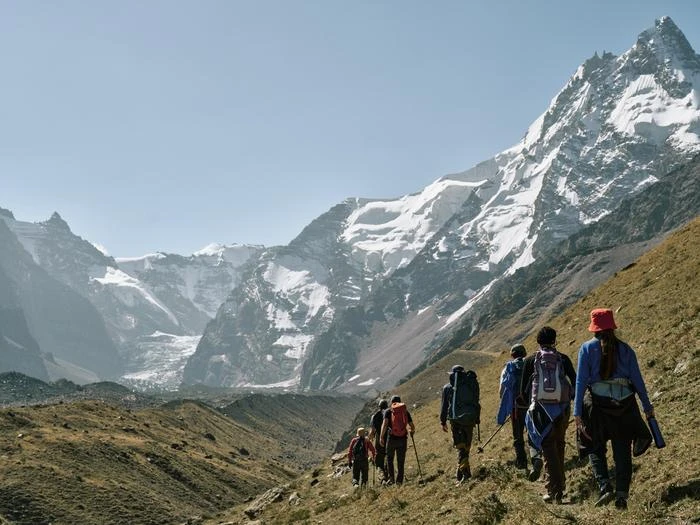
Francesca Pellicciotti has spent years climbing to some of the least accessible places on Earth to study ice. She has set up instruments on glaciers in the Himalaya and the Andes, collecting data that most hydrological models never see — measurements from elevations where weather stations do not exist and satellite data lacks resolution. Now her work is about to scale from individual glaciers to every major mountain range on the planet.
Schmidt Sciences, the foundation established by former Google CEO Eric Schmidt and Wendy Schmidt, announced funding for the MountAInWater project: $9.5 million to conduct the first global reanalysis of mountain water resources. The grant, part of the Virtual Institute for Earth's Water (VIEW) program, selected Pellicciotti's proposal from 150 applicants. Only four projects were funded from a total pool of $33 million.
Four supersites, then the entire world
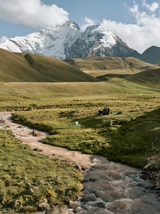
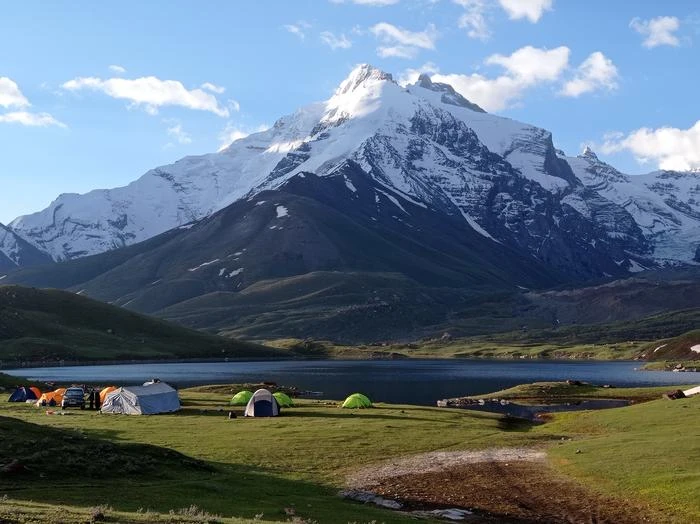
The project's architecture is built around scale — starting local, going global, then zooming back in. The first phase establishes what the team calls "supersites": high-elevation observatories in the Canadian Rockies, the Andes, the Pamir mountains of Central Asia, and the Himalaya. These are not new locations for Pellicciotti's group at the Institute of Science and Technology Austria (ISTA). They have prior fieldwork experience in all four regions.
At each supersite, researchers will collect detailed measurements of glaciers, snowpack, permafrost, and water runoff. That data feeds into physics-based land surface models — numerical simulations that track how water moves through mountain systems, from snowfall to meltwater to river discharge.
But physics-based models are computationally expensive. Running them at fine resolution across an entire continent, let alone the globe, has been impractical. This is where the AI component enters.
Training machines on mountain physics
The supersite simulations will serve as training data for machine learning models developed by ISTA's Francesco Locatello and teams at the Technical University of Munich and University of Lausanne. The idea is not to replace physics with AI but to use AI to emulate what physics-based models do — at a fraction of the computational cost.
Once trained, these hybrid models can simulate mountain water dynamics across all major mountain ranges with spatial resolution as fine as one kilometer. That has not been achievable before. Previous global-scale models had to sacrifice resolution for coverage, using simplified representations that miss critical processes.
One process the project specifically targets: tipping points. Mountain cryospheres do not respond to warming in smooth, linear ways. A glacier can lose its cooling wind patterns past a certain size threshold, accelerating melt in a feedback loop. Snow can shift from sublimation (evaporating directly into the atmosphere) to surface melt as temperatures cross specific thresholds. Precipitation can flip from snow to rain. These transitions have rarely been incorporated into global water resource assessments.
From data to water policy
The global reanalysis is not the endpoint. Once the models identify regions where water availability is changing most dramatically — or is projected to — the project zooms back in. The team calls these "regional hotspots of impact."
At these hotspots, researchers from Utrecht University, the University of Saskatchewan, Wageningen University, and the consulting firm FutureWater will assess downstream ecological and societal consequences: impacts on crop production, hydroelectric generation, and ecosystems that depend on mountain runoff. Climate Adaptation Services, a Dutch organization, will work with local communities to develop adaptation strategies.
The collaboration extends across six countries: Austria, Canada, Germany, the Netherlands, Norway, and Switzerland. Partners include ETH Zurich, which provides remote sensing and field data, and Professor Simone Fatichi, who will join ISTA in the fall to focus on climate-ecosystem interactions in mountain regions.
A "Mountain Digital Twin" — an interactive visualization platform — is planned to help local stakeholders explore scenarios. The idea is that communities facing water scarcity decisions can test different adaptation options against realistic climate projections, rather than relying on abstract model outputs.
The hard limits of modeling mountains
Mountain hydrology is notoriously difficult to model. Terrain creates microclimates that vary over meters, not kilometers. Data is sparse because high-altitude monitoring stations are expensive to maintain and frequently destroyed by weather. The communities most affected by changing mountain water are often in developing regions with limited capacity to act on scientific projections.
Whether AI-emulated physics models can faithfully reproduce the behavior of their full-resolution counterparts across diverse mountain environments remains to be demonstrated at global scale. The approach is promising — similar hybrid strategies have worked in atmospheric science and ocean modeling — but mountain systems have their own complications, including steep terrain, complex snow-rain transitions, and glacier dynamics that operate on timescales from hours to centuries.
The project's timeline and specific milestones were not detailed in the announcement. With $9.5 million spread across multiple institutions and four field sites on different continents, the logistical challenge alone is substantial.
But the underlying motivation is hard to argue with. Mountains supply freshwater to roughly half the world's population. The glaciers and snowpacks that store and regulate that water are changing faster than our models can currently track. Building better models — models that capture the nonlinear transitions where mountain water systems shift from stable to stressed — is not optional work. It is, as Pellicciotti puts it, about providing the scientific evidence for decisions that communities will have to make regardless.